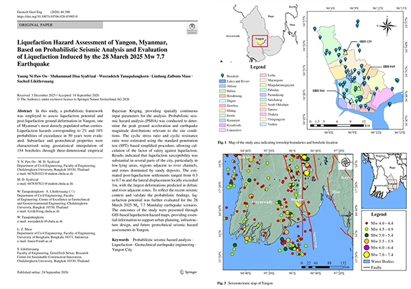
A new peer-reviewed study maps where in Yangon the soil is most likely to liquefy during strong earthquakes, using data from 154 boreholes. It also models conditions under the March 2025 Mw 7.7 earthquake. Low-lying, riverside and sandy areas show the highest risk, with potential ground settlement of up to around 0.7 m. The findings are relevant to urban planning, infrastructure design, and disaster preparedness in Yangon. Published in Geotechnical and Geological Engineering (subscription access).